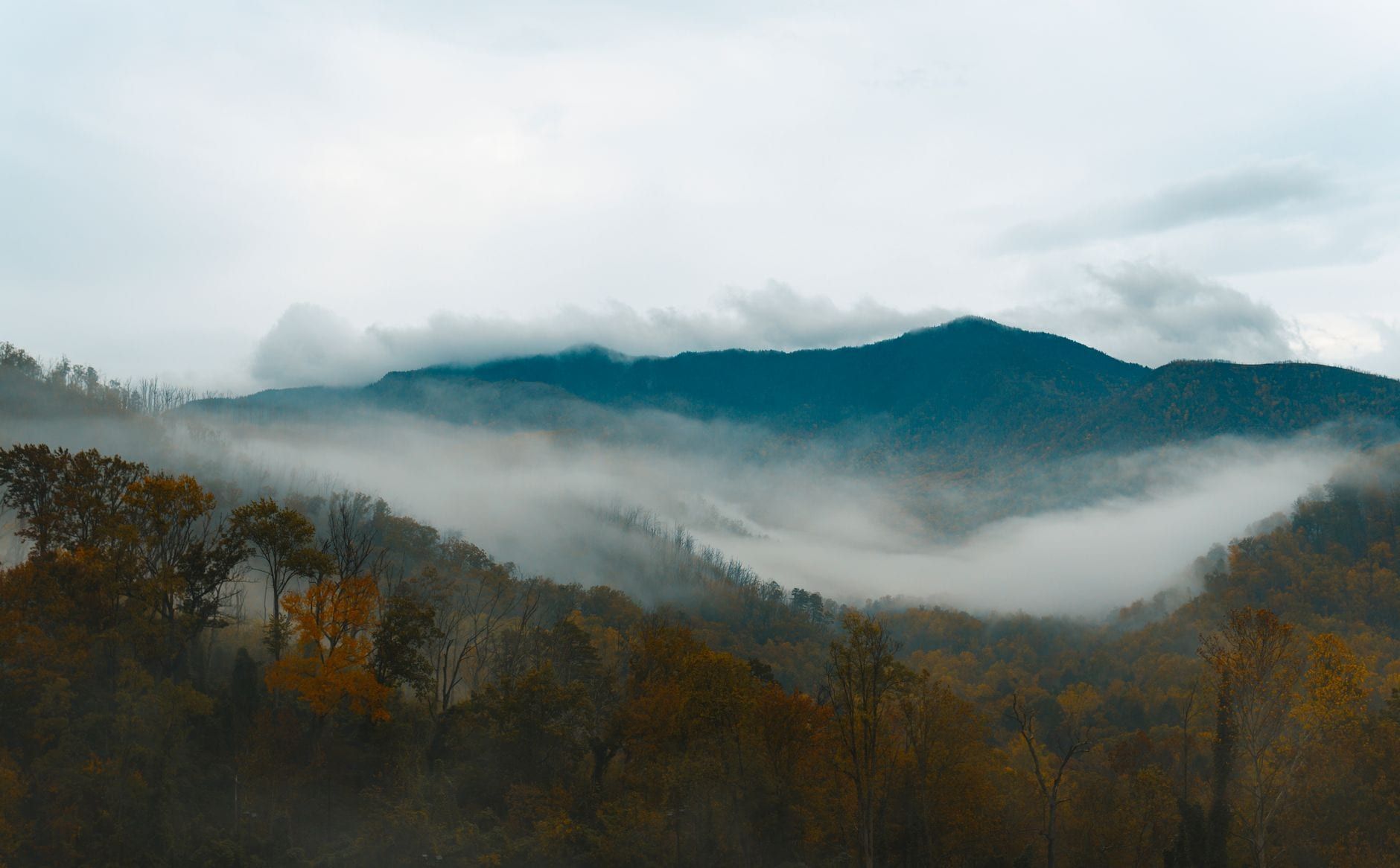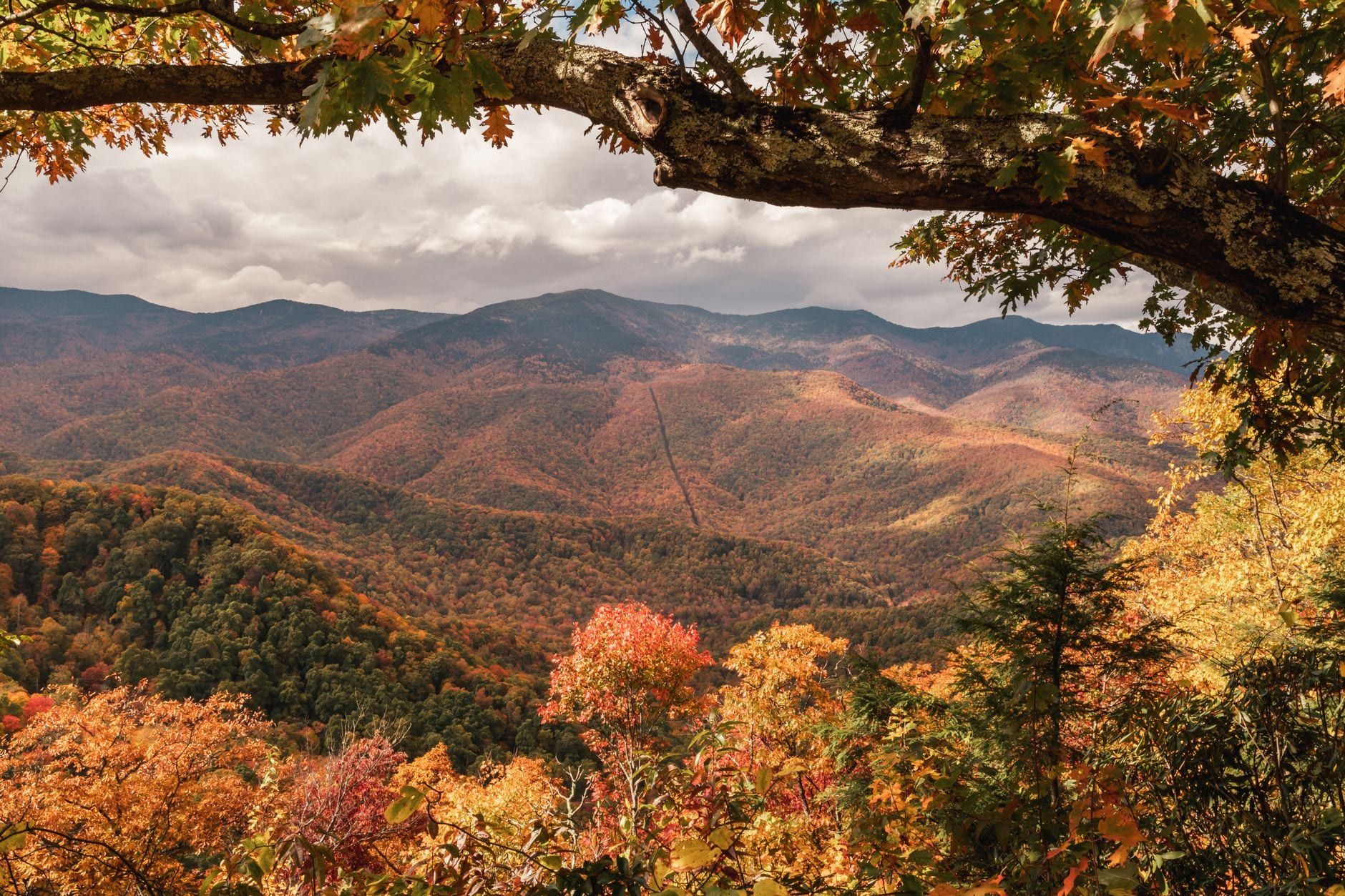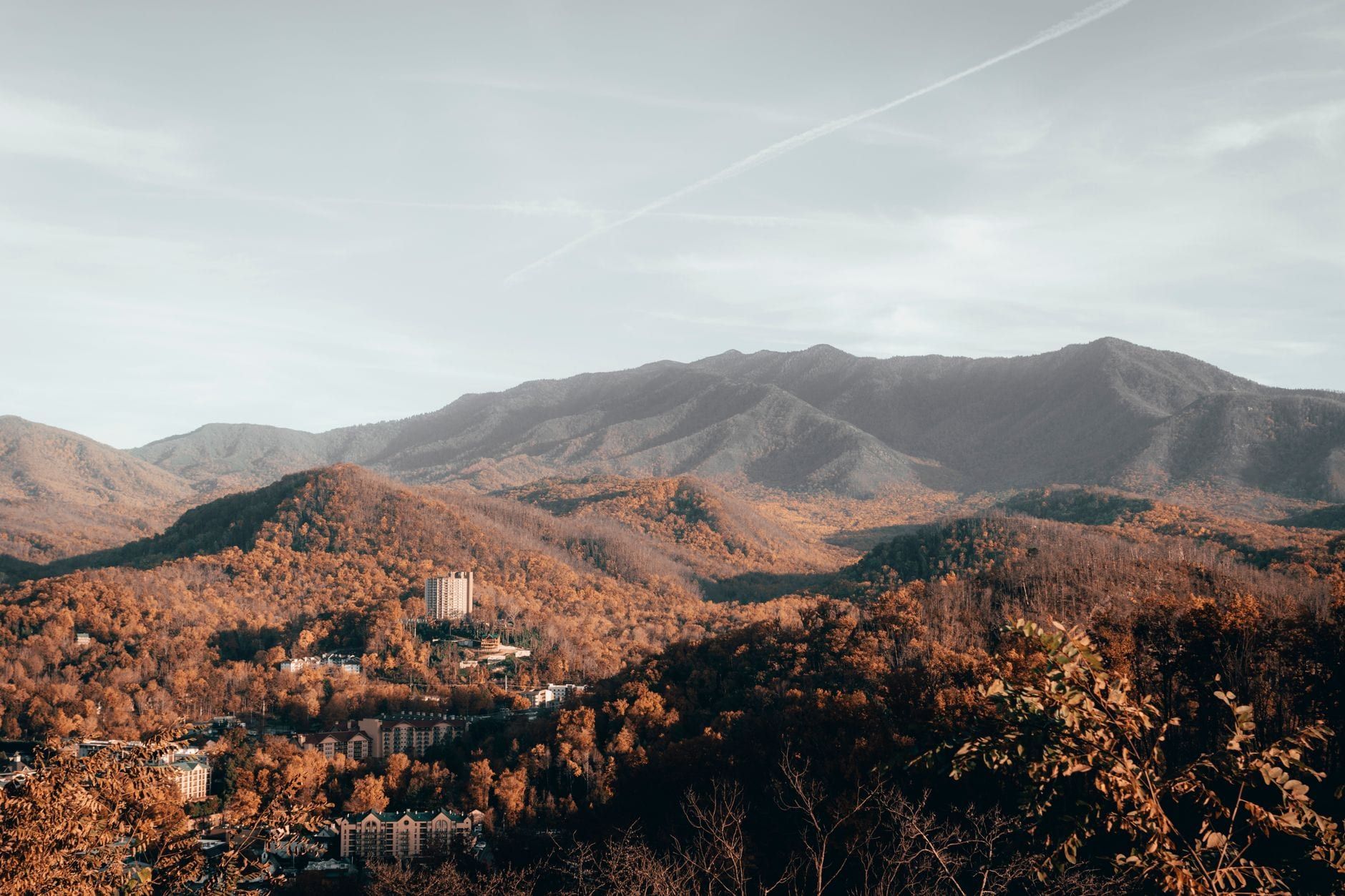
Great Smoky Mountains National Park never closes for winter — it's open around the clock, all year — but the season splits into two different parks depending on how high you climb. Down in Gatlinburg and Cherokee, days often reach the low 50s and snow is a rare event; up at Kuwohi and along the ridgeline, snow can sit for weeks and temperatures run 15-20 degrees colder. December through February also happens to be the emptiest stretch of the calendar at the country's most-visited national park, which draws over 12 million visits a year concentrated mostly in summer and October.
That quiet comes with a catch. Kuwohi Road shuts to cars from around December through late March, several secondary roads and campgrounds close for the season, and a sudden ice storm can shut down even Newfound Gap Road with little warning. None of that rules out a good trip. It just means the itinerary looks different than a June visit. Here's what actually stays open, which trails handle ice well, and what to pack so the cold doesn't wreck the day.
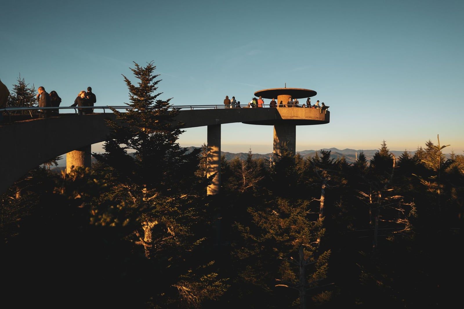
What Winter Is Really Like in the Smokies
Elevation decides everything here. The park runs from 875 feet at the mouth of Abrams Creek to 6,643 feet at Kuwohi, and that mile-plus of vertical relief means the valley floor and the ridgeline live through two different winters on the same day. Sugarlands, near Gatlinburg at low elevation, averages a high of 52°F in December and 49°F in January. Kuwohi, at the top, averages just 37°F and 35°F for the same months, with lows dropping into the teens. A raw, single-digit windchill up top is entirely possible while Gatlinburg sits comfortable in a fleece.
Snow behaves differently depending on where you stand, too. Down low, a snowfall of an inch or more happens only one to five times a season — most winter precipitation there falls as cold rain instead. Up at elevation, it's a different story: the ridges hold snow through most of January and February, and Kuwohi and the high balds can pick up two to six feet of total snowfall across the season. January and February give the best odds of that snow-capped, bare-branch look; December runs milder and wetter, and leans more toward holiday events than snow.
| Location (elevation) | Dec avg high/low | Jan avg high/low | Feb avg high/low |
|---|---|---|---|
| Sugarlands (~1,460 ft) | 52°F / 29°F | 49°F / 26°F | 53°F / 29°F |
| Kuwohi / Clingmans Dome (6,643 ft) | 37°F / 21°F | 35°F / 19°F | 35°F / 18°F |
Why Visit in Winter (and the Trade-Offs)
Winter is the emptiest stretch at the busiest national park in the country. December, January, and February draw the fewest visits of the year, a sharp contrast to the jammed lots of July and October. That means no line at the Cades Cove entrance, no scramble for a spot at Laurel Falls, and overlooks along Newfound Gap Road you might have entirely to yourself.
Bare trees open up views that summer's leaf cover hides completely — old homestead chimneys, distant ridgelines, and wildlife that would otherwise stay invisible in the underbrush. Waterfalls like Rainbow Falls and Laurel Falls grow icicle curtains and frozen splash zones that simply don't exist in warmer months, and on clear, dry nights the low humidity makes for some of the sharpest stargazing of the year.
The trade-off is unpredictability. Secondary roads, several campgrounds, and picnic areas close for the season, ranger-led programs stop running, and the Kuwohi Visitor Center shuts down entirely from roughly December through March. Worse, a single ice storm can close the whole park, Newfound Gap Road included, with almost no warning. Build a flexible day into any winter trip rather than locking in a fixed plan.
Road, Campground, and Facility Closures to Plan Around
Three main roads are built to stay open all year, weather permitting: Newfound Gap Road (US-441), which crosses the park's spine between Tennessee and North Carolina, Little River Road, and the 11-mile Cades Cove Loop Road. Treat these as your winter backbone and plan around them rather than the secondary routes.
Kuwohi Road, the spur leading to the park's highest point, closes to vehicles from about December 1 through late March or April 1. Roaring Fork Motor Nature Trail, Rich Mountain Road, Parson Branch Road, and Little Greenbrier Road also shut for the season. That scenery doesn't disappear — Kuwohi Road itself turns into one of the better winter trails in the park, covered below — but don't plan a drive up expecting the summit tower to be reachable by car.
Only two of the park's ten campgrounds, Cades Cove and Smokemont, run year-round; the rest close for the season. Visitor centers stay open through winter except on Christmas Day, but the Kuwohi Visitor Center closes for the season along with its road, and ranger-led programs go on hiatus until spring.
Conditions change fast enough that yesterday's plan can be wrong by morning. Check the park's current hours and fees the night before, or call the recorded road-conditions line at (865) 436-1200 — it's updated daily and is the fastest way to know if Newfound Gap Road is passable before you drive up.
Best Things to Do in the Smokies in Winter
The park's usual highlights work differently once the crowds thin out and the leaves are gone. Four kinds of winter days stand out: quiet scenic drives, ice-draped waterfalls paired with easy wildlife spotting, snow sports both inside and just outside the boundary, and picnics or holiday lights when you want a lower-key afternoon.
Scenic Drives Without the Traffic
Newfound Gap Road climbs from Sugarlands to 5,046 feet at the state line, and in winter you can actually pull into the overlooks without circling for a spot. Cades Cove Loop Road, open dawn to dusk daily year-round, is quieter too — the same 11 miles that crawl with cars in October move freely in January. If you'd rather not handle icy switchbacks yourself, a guided jeep tour covers the route while you watch for elk and deer. For a drive that's uncrowded even in peak season, the Foothills Parkway near Wears Valley offers wide panoramas of the range with almost no traffic at all.
Frozen Waterfalls and Winter Wildlife
Cold snaps turn the park's waterfalls into something close to sculpture. Rainbow Falls, the tallest single-drop fall in the park at 80 feet, and Laurel Falls both grow heavy ice formations along their edges after a hard freeze, and the 80-foot bluff at Alum Cave hangs with icicles thick enough to look architectural. Cataloochee and Cades Cove are the best bets for wildlife: with the understory gone, elk and deer are far easier to spot against bare trees and dry grass than they are under summer's cover.
Snow Sports on Kuwohi Road and Beyond
Kuwohi Road's winter closure to cars turns it into one of the park's better snowshoeing and cross-country skiing routes, along with the parallel stretch of the Appalachian Trail — no engine noise, just packed snow and long views once the clouds break. For lift-served skiing, snowboarding, tubing, or ice skating, Ober Mountain just outside Gatlinburg runs all of it through the winter, a short drive from the park entrance.
Picnics and Holiday Lights
Cades Cove, Deep Creek, Greenbrier, and Metcalf Bottoms picnic areas stay open all year, so a cold, clear day is still a fine day for a thermos and a sandwich at a quiet table with a mountain view. Down in the gateway towns, Gatlinburg and Pigeon Forge run holiday light displays and Winterfest decorations from November into February — pair a day in the park with a moonshine tasting tour if you're basing yourself nearby.
Best Winter Hiking Trails
Six trails handle winter well; plenty of others are better saved for spring melt. For a full rundown of every trail by difficulty and season, see the trail guide by difficulty and type. For icy, high-elevation routes, a guided hiking tour pairs local knowledge with the right gear — worth it if you're new to winter conditions.
Laurel Falls
This paved 2.6-mile round trip to an 80-foot cascading waterfall is the park's most popular hike in any season, and in winter the ice on the pavement itself is the main hazard. It's also one of the busier trails even in the off-season, thanks to its accessibility. Traction devices earn their keep here — the asphalt gets slicker than a dirt trail once it freezes.
Rainbow Falls
Rainbow Falls drops 80 feet in a single sheet, the tallest single-drop waterfall in the park, and in a hard freeze the spray builds into thick ice formations along the rock face. The trail gains real elevation on the way up, so expect packed snow and ice well before you reach the falls in January and February.
Alum Cave Trail
The trail's namesake bluff, a concave rock face about 80 feet tall, grows some of the park's most dramatic icicles once temperatures drop. It's a strenuous, rocky route with sections of exposed footing, and traction devices aren't optional once ice sets in. This is a trail for hikers comfortable moving on uneven, frozen ground.
Ramsey Cascades
At 100 feet, Ramsey Cascades is the tallest cascading waterfall in the park, and it's earned: the trail runs 4 miles one-way with about 2,200 feet of elevation gain through old-growth forest. Save it for a clear, dry stretch. The upper sections ice over fast, and the rock scramble near the falls gets genuinely dangerous when wet or frozen.
Andrews Bald and Schoolhouse Gap for Easier Days
Families who want scenery without ice hazards should aim low. Schoolhouse Gap is a gentle, low-elevation trail that mostly avoids winter's ice problems, a good pick when the ridges turn treacherous. Andrews Bald, normally reached from the Clingmans Dome parking area, needs a different plan in winter: with Kuwohi Road closed to cars, getting to the trailhead means walking or skiing the closed road first, turning it into a full day for snowshoers rather than a quick family outing.
What to Pack and How to Stay Safe
Layer for a temperature swing that can hit 20 degrees between the trailhead and the summit. A moisture-wicking base layer, an insulating mid-layer, and a waterproof shell handle most winter days in the Smokies. Skip cotton — it stays wet and cold once you sweat or hit snow.
Waterproof boots are the baseline, but on high-elevation trails like Alum Cave or Ramsey Cascades, add traction devices or crampons. The National Park Service specifically recommends them once ice sets in. Trekking poles help on packed snow and icy switchbacks, especially with a pack on.
Daylight runs short in winter. Sunset lands just after 5 p.m., which cuts hiking windows well below what a summer trip allows. Start early, carry a headlamp regardless, and turn around with enough margin to be off the trail before dusk — the terrain doesn't get easier in the dark.
Cars need winter prep too. Check your tires before driving up from Gatlinburg or Cherokee, since road treatment inside the park is limited and mountain roads ice over quickly at dawn and dusk. Bring a parking tag for any stop longer than 15 minutes — $5 for the day, $15 for the week — required year-round with no winter exception. And keep your distance from wildlife: Smoky Mountains black bears don't fully hibernate, entering long sleep cycles in dens but capable of turning up during a warm spell, with cubs often born in January and February. Stay at least 150 feet away.
Where to Stay and Practical Trip Logistics
In-park camping shrinks in winter to just two campgrounds, Cades Cove and Smokemont; everything else closes for the season. Most winter visitors base themselves outside the park instead — Gatlinburg and Pigeon Forge on the Tennessee side, or Cherokee on the North Carolina side — and drive in each day.
Two to four days covers a winter trip well. See the day-by-day itinerary guide for how to structure it, but roughly: that's enough time for the two main drives, Newfound Gap and Cades Cove, plus a hike or two and a weather buffer if a storm closes roads for a day. Shorter daylight means you'll fit less per day than in summer, so don't overbook it.
There's no Wi-Fi and little to no cell service anywhere inside the park, on any carrier. Download offline maps before you leave cell range, and tell someone your hiking plan and expected return time — you won't be able to text an update from the trail.
Within the season itself, timing still matters. New Year's week and the Martin Luther King weekend bring the biggest crowds of the winter months; a plain Tuesday in late January is about as quiet as the park gets all year. Compare it against other seasons in the month-by-month planning guide if solitude is the goal — that late-January window is hard to beat.
Frequently asked questions
Is Great Smoky Mountains National Park open in the winter?
Yes. The park is open 24 hours a day, 365 days a year, and never shuts down for the season. Individual roads, and occasionally the whole park, can close temporarily during ice storms or heavy snow, so check conditions before driving up.
Does it snow in the Great Smoky Mountains in winter?
Yes, though it depends heavily on elevation. Kuwohi and the high ridges typically hold snow through January and February and can pick up 2 to 6 feet across the season, while low-elevation towns like Gatlinburg see only one to five snowfalls of an inch or more all year.
What roads are closed in the Smokies in winter?
Kuwohi (Clingmans Dome) Road closes to vehicles from about December 1 through late March or April 1. Roaring Fork Motor Nature Trail, Rich Mountain Road, Parson Branch Road, and Little Greenbrier Road also close for the season. Newfound Gap Road, Little River Road, and Cades Cove Loop Road are meant to stay open year-round, weather permitting.
Is Cades Cove open in the winter?
Yes. Cades Cove Loop Road, its campground, and its picnic area all stay open year-round, weather permitting, and bare trees make it one of the better winter spots to see wildlife.
What is the best month to visit the Smokies in winter for snow?
January and February give the best odds of snow-covered peaks and ice formations at elevation. December runs milder and centers more on holiday lights in the gateway towns than on snow.
What should I pack for a winter trip to the Smokies?
Moisture-wicking base layers, an insulating mid-layer, and a waterproof shell, plus waterproof boots with traction devices or crampons for icy high-elevation trails. Add trekking poles, a headlamp for the short days, and extra water and snacks even in the cold.
Can I see bears in the Smokies in winter?
Sightings are less common but still possible. Smoky Mountains black bears don't fully hibernate — they enter long den-sleep periods but can emerge during warm spells or if disturbed, and cubs are often born in January and February.
How many days do I need to visit the Smokies in winter?
Two to four days is enough to cover the main scenic drives, Newfound Gap and Cades Cove, plus a hike or two, given winter's shorter daylight and sunset around 5 p.m.