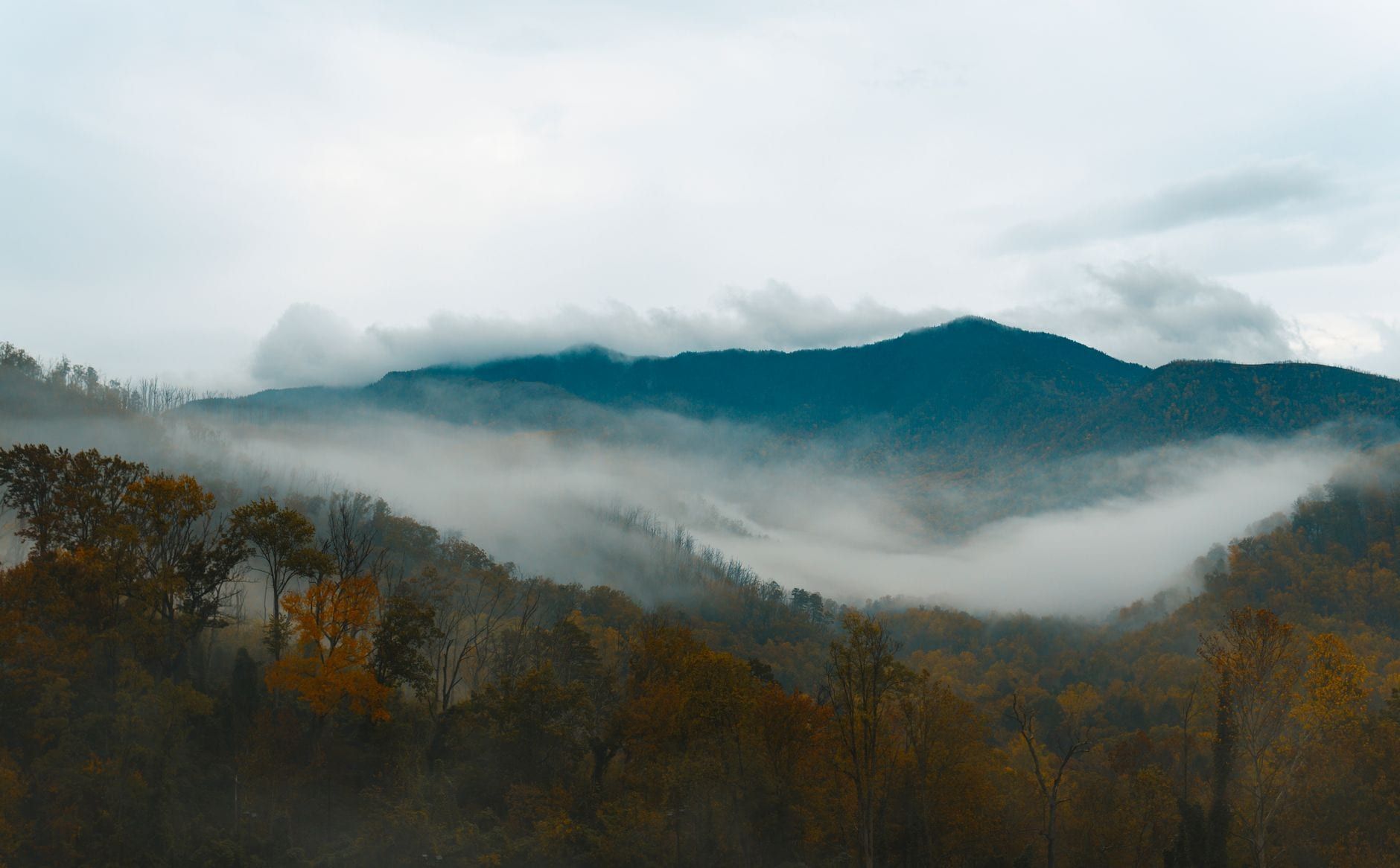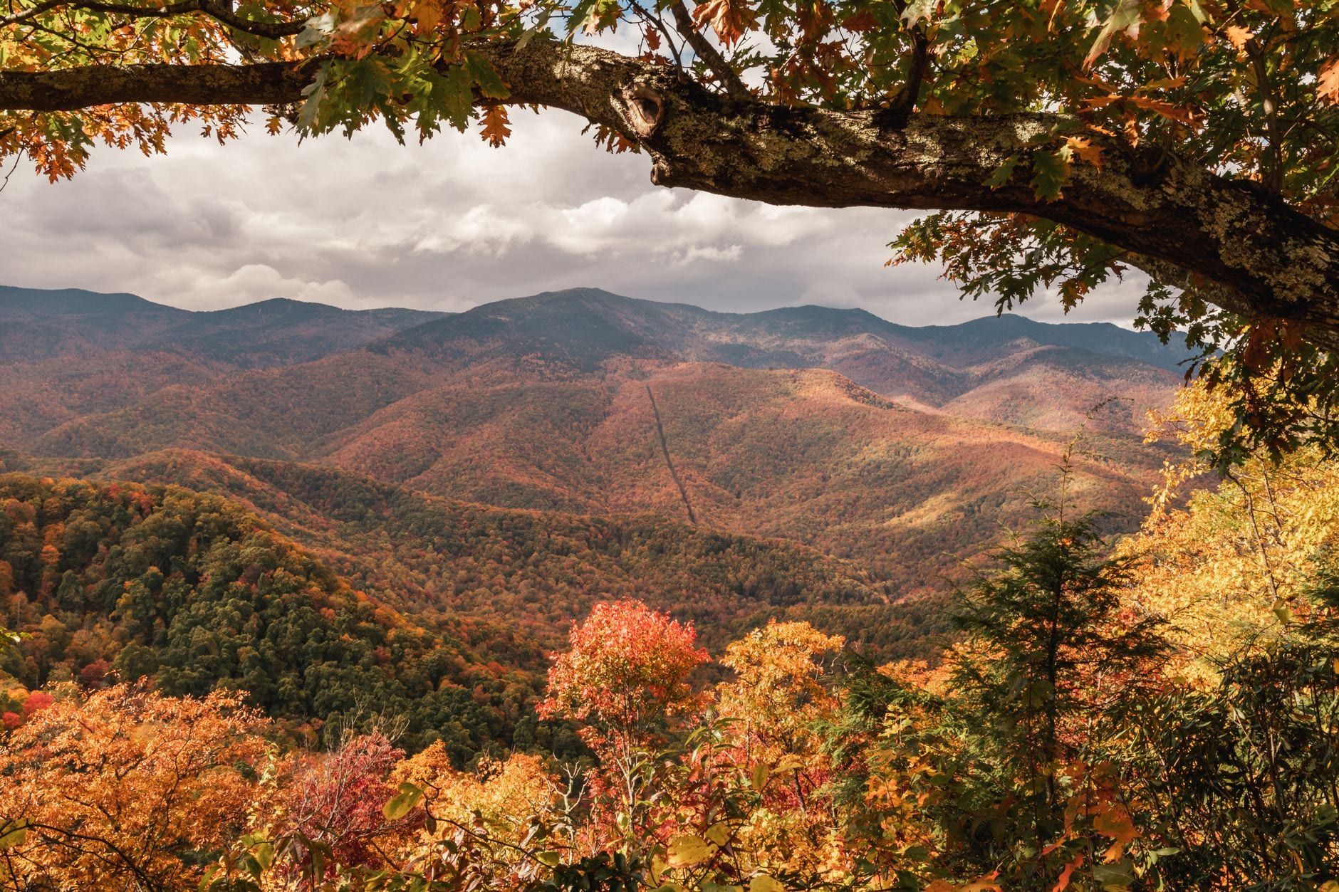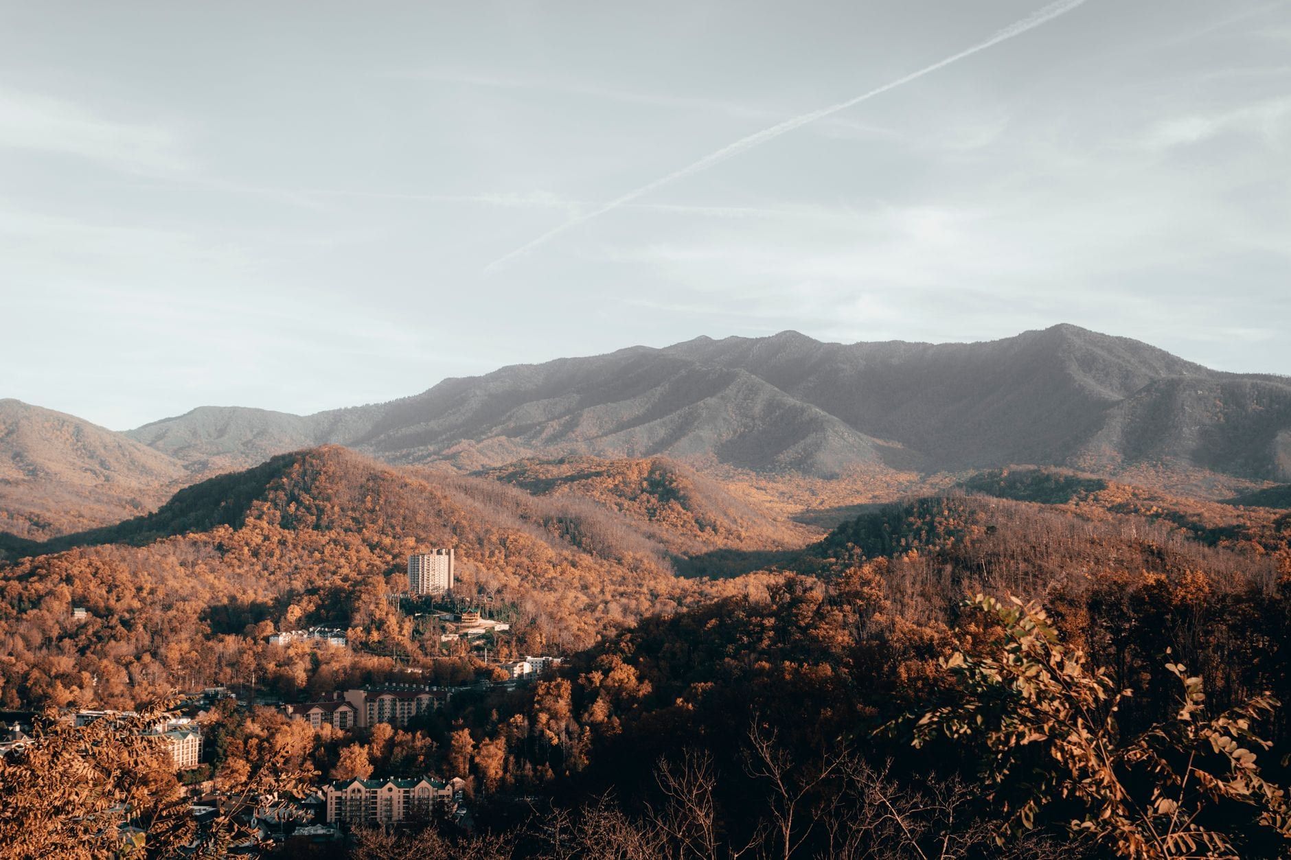
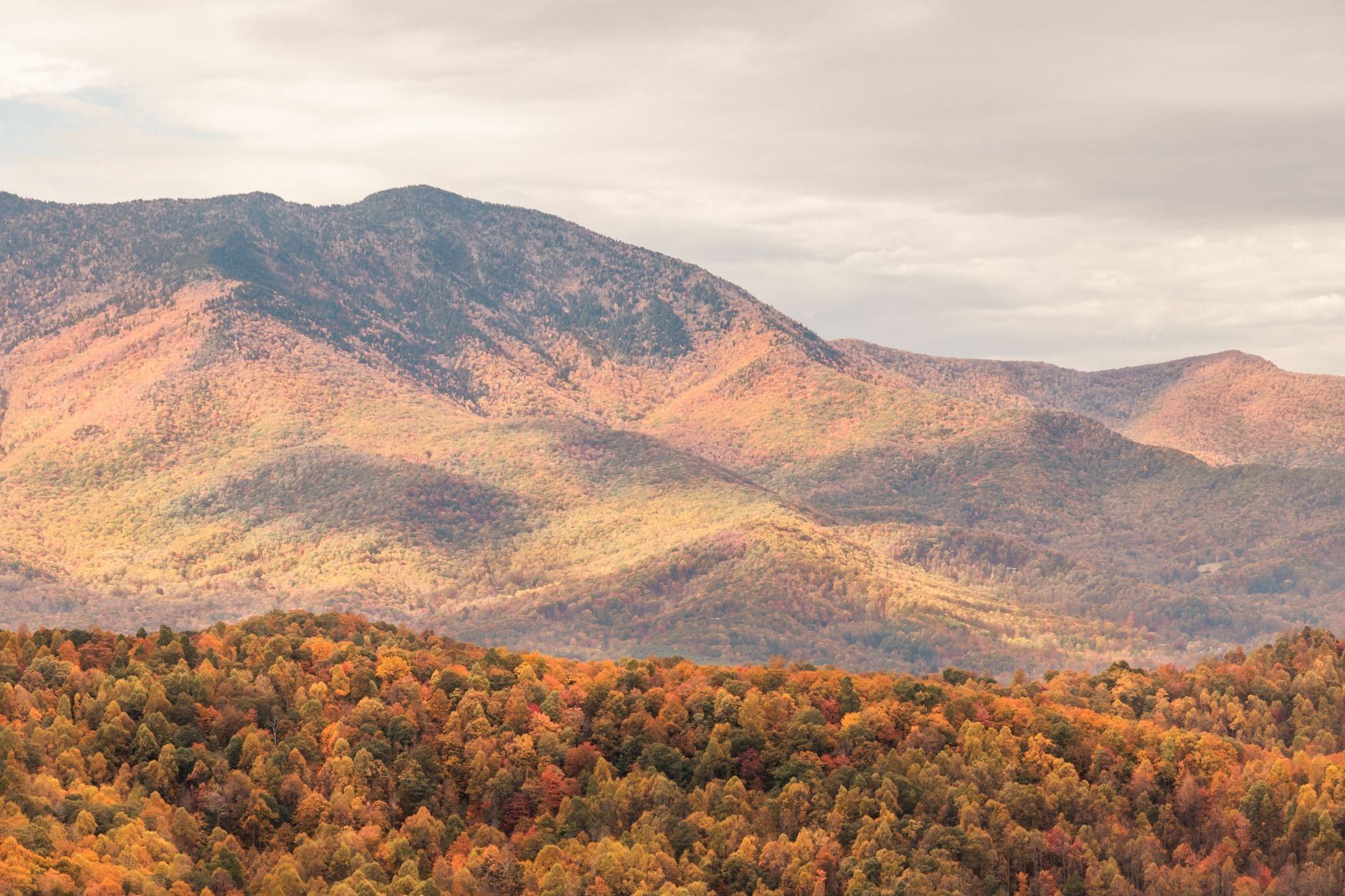
Great Smoky Mountains National Park pulls in more visitors than any other national park in the country — over 12 million recreation visits a year, spread across 522,000 acres straddling Tennessee and North Carolina. That's roughly double the crowds of the next-busiest park. You won't run out of things to do here; narrowing the list down is the actual challenge.
This guide sorts every major activity by how much walking it takes and how much time you've got, from a two-hour scenic drive to a three-day mix of hiking, wildlife watching, and history. For background on the park before you start picking, see our overview of its history and highlights.
Great Smoky Mountains at a Glance: What Makes It Different
There's no entrance fee, which is part of why visitation runs so high, but every vehicle parked longer than 15 minutes needs a parking tag — at an overlook, a trailhead, anywhere. Tags cost $5 for a day, $15 for a week, or $40 for the year, sold online, at visitor centers, and from machines at major trailheads. Check current hours and fees before you go, since a valid tag doesn't guarantee an actual parking spot once a lot fills.
The park covers more than 522,000 acres across the Tennessee-North Carolina line, and it splits into two distinct sides. Sugarlands Visitor Center near Gatlinburg anchors the north; Oconaluftee Visitor Center near Cherokee anchors the south. Compare routes into the park from Knoxville or Asheville before picking a base. With more than 12 million visits a year, this is the busiest national park in the country — pick a short list from what follows rather than trying to cover it all in one trip.
Scenic Drives: See the Smokies Without Leaving Your Car
Five routes cover most of what a first-time visitor wants to see, and none of them require boots.
Cades Cove Loop Road
This 11-mile, mostly one-way loop through a broad valley is the single best spot in the park for spotting wildlife from your car — deer graze in open fields, and black bears show up often enough to cause traffic jams. Along the way sit three historic churches, log homesteads, and the still-working John P. Cable Mill. Summer Wednesdays close the road to vehicles entirely, opening it to cyclists and walkers only. Budget two to four hours, and expect the loop to back up badly between 9am and 2pm.
Newfound Gap Road
This 30-mile stretch of US-441 is the only road that crosses the park end to end, linking Gatlinburg, TN with Cherokee, NC over Newfound Gap at 5,046 feet. Franklin Roosevelt dedicated the park at this overlook in 1940, and it still delivers one of the widest cross-state views in the Smokies. The Appalachian Trail crosses the road right here, so thru-hikers resting at the parking area are a common sight. It's also the turnoff for Kuwohi Road.
Roaring Fork Motor Nature Trail
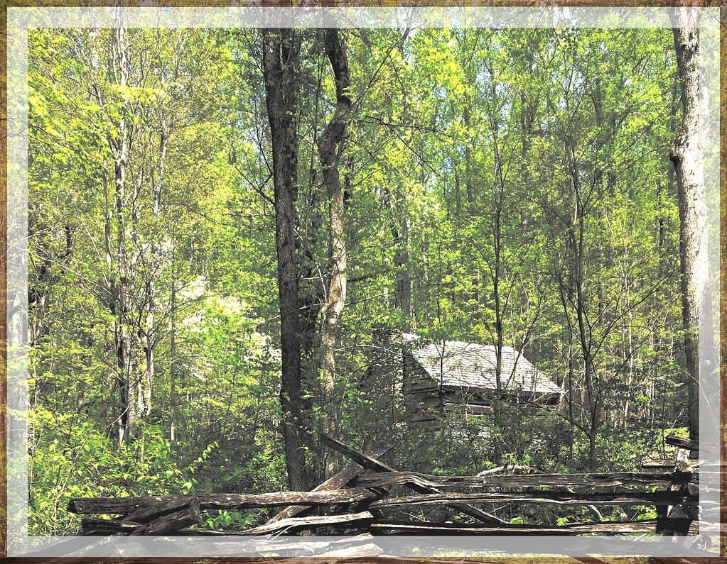
A narrow, twisting 5.5-mile one-way loop near Gatlinburg passes old-growth forest, historic log cabins, and roadside cascades, including one nicknamed the Place of a Thousand Drips. It closes in winter and bars buses, trailers, and motorhomes. Slow down anyway; the road doesn't allow much speed.
Foothills Parkway
Built in three separate, unconnected segments totaling more than 70 miles, this ridge-top drive trades Cades Cove's valley views for wide panoramas of the whole range. It carries far less traffic than the park's two main roads, which makes it the better pick for a quiet sunset drive or fall color without the brake lights.
Cataloochee Valley
Reaching this valley means a slow, partly gravel road, which keeps crowds thin and keeps the elk herd relaxed enough to graze in open meadows at dawn and dusk. Historic churches and homesteads dot the valley floor, echoing Cades Cove without the traffic. A guided jeep tour handles the driving so you can watch for elk instead of the road.
Kuwohi (Formerly Clingmans Dome): The Park's Highest Point
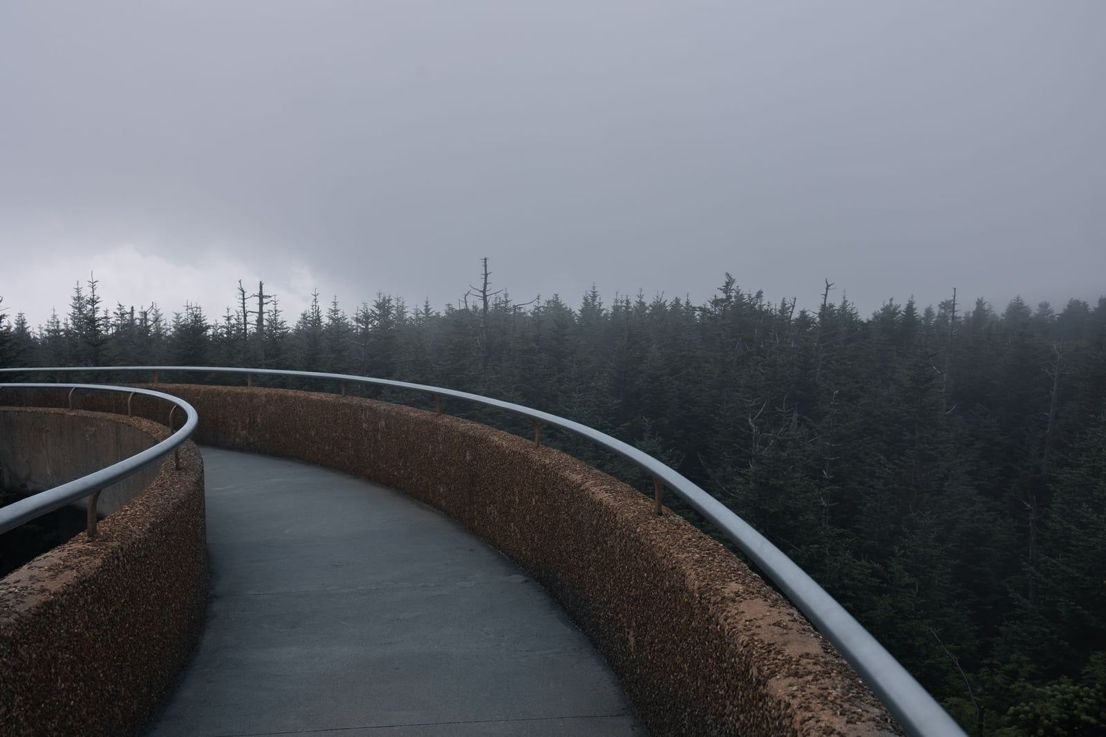
Kuwohi is the Cherokee name — meaning "mulberry place" — that the U.S. Board on Geographic Names restored to the park's highest peak in September 2024, replacing a 19th-century name honoring a Confederate general. At 6,643 feet, it's the highest point in the park and the third-highest east of the Mississippi.
Kuwohi Road (seasonal, closed in winter) carries you most of the way up; from the parking area, a steep, paved half-mile path leads to the observation tower. On a clear day the view stretches over 100 miles across seven states. Temperatures at the summit run 10-20°F colder than the valley floor, so bring a layer even in July. Parking fills early during fall foliage — arrive before mid-morning or plan on circling. For a different angle on the same high country, helicopter tours climb above the ridgeline without needing a parking spot at all.
Best Hikes for Every Level
More than 850 miles of trails cover the park, including about 70 miles of the Appalachian Trail. Finding a route isn't hard; picking one that matches your fitness and time is.
Easy and Family-Friendly
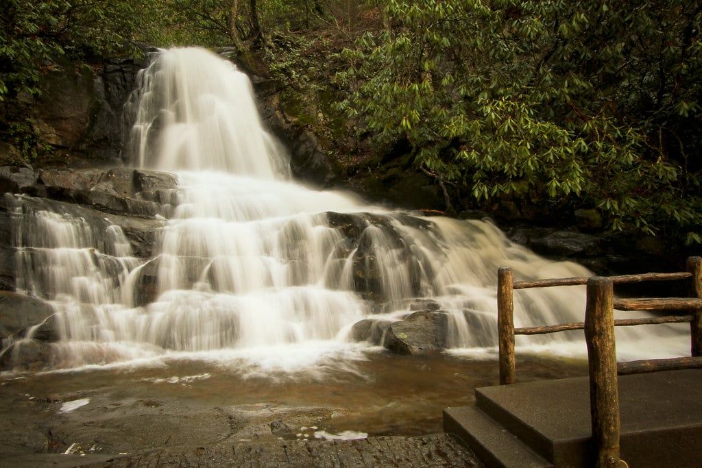
Laurel Falls is the park's most popular short hike, a paved 2.6-mile round trip to an 80-foot waterfall — which also makes it the most crowded, so go early. The Gatlinburg Trail is flatter still and one of only two trails in the park where leashed dogs are allowed. Cataract Falls, a short walk from Sugarlands Visitor Center, gets you a waterfall with barely any climb.
Moderate
Grotto Falls is the only waterfall hike in the park where the trail passes behind the falls, a 2.6-mile round trip through the Roaring Fork area. Chimney Tops climbs steeply over about 3.4 miles round trip to a rocky overlook with some of the best views around. Alum Cave Trail offers a similar workout on the way toward Mount LeConte.
Longer and Harder
Ramsey Cascades, the tallest waterfall in the park, takes an 8.1-mile round trip through old-growth forest, with a rough scramble at the end — a real hike, not a stroll. Trails up Mount LeConte, the park's third-highest peak, run 5.5 to 8.8 miles one-way depending on the route, rewarding those who make it with LeConte Lodge, the only non-camping lodging inside the park and reachable solely on foot. Rather have someone else read the terrain? Guided hiking tours cover routes like these with a local leading the way.
Quiet Walkways
Scattered along the main roads, these short, unmarked pull-off trails run a quarter-mile or less and rarely see more than a handful of people. Good for five minutes in the forest without a real trailhead crowd.
Chasing Waterfalls (Hike Required or Not)
More than 100 named waterfalls sit inside the park, and how much walking you're willing to do decides which ones are realistic.
No Hike Required
The Sinks and Meigs Falls both sit right off Little River Gorge Road, visible from roadside pull-offs with no trail at all. Roaring Fork's Place of a Thousand Drips works the same way — a cluster of small cascades you can see without leaving the car.
Short Hike
Laurel Falls and Grotto Falls, covered above, are the two best options that reward a modest walk rather than a serious hike — under three miles round trip each, and doable with kids in tow.
Longer Hike, Bigger Payoff
Rainbow Falls climbs about 5.4 miles round trip to an 80-foot drop that throws a rainbow in the spray on sunny afternoons. Ramsey Cascades, at 8.1 miles round trip, is the longest and tallest payoff in the park — save it for a full day and good boots. Spring runoff gives every waterfall here its best flow; by late summer, many thin to a trickle.
Wildlife Watching: Bears, Elk & More
About 1,500 black bears live in the park, one of the densest bear populations anywhere in the country. Cades Cove, Newfound Gap Road, and Cataloochee Valley turn up the most sightings, usually early morning or near dusk. Federal rules require staying at least 50 yards away — closer than that, and rangers can cite you.
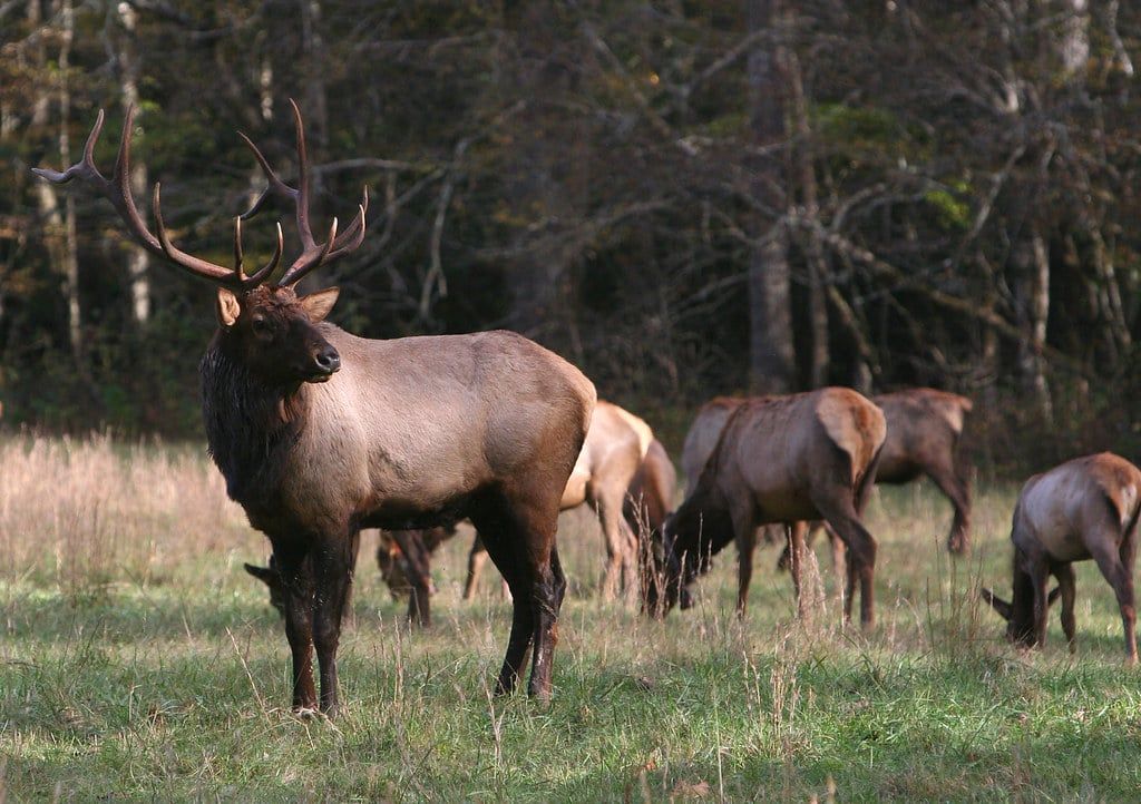
Elk disappeared from the region a century ago and came back in 2001, when the park reintroduced 25 animals to Cataloochee Valley. That herd has grown to roughly 200, and the fields around Oconaluftee Visitor Center are now almost as reliable as Cataloochee for spotting them at dawn and dusk. White-tailed deer, wild turkeys, and plenty of songbirds fill out the rest of the sightings, deer especially in Cades Cove, often grazing a few feet from parked cars.
Never feed anything, and never stop in the middle of the road for a photo — pull off first. Both rules get ignored constantly, which is exactly why rangers enforce them.
Water Activities: Rafting, Tubing, Paddling, Fishing & Swimming Holes
Cooling off here usually means leaving the park boundary. Swimming isn't recommended anywhere inside it — drowning is a leading cause of death in the Smokies, and waterfall climbing has caused serious injuries.
Fishing
The park protects about 2,900 miles of streams and one of the last wild trout habitats left in the country. A Tennessee or North Carolina fishing license is required; the park doesn't sell its own.
Whitewater Rafting
The Pigeon River near Hartford, TN, just outside the park's northeast corner, runs Class 1-3 rapids through summer and jumps to Class 4 in spring or after heavy rain. Outfitters run trips daily in season.
Tubing and Swimming Holes
Deep Creek near Bryson City, NC, and the Little River near Townsend, TN, are the go-to spots for river tubing, both just outside the park boundary. Inside it, Townsend Wye and Metcalf Bottoms are the closest things to sanctioned swimming holes — shallow, slow stretches with no hike required, though the water stays cold even in July.
Fontana Lake
This 16-square-mile lake sits on the park's southern edge and rents kayaks, canoes, and paddleboards from nearby marinas. It's the calmest water option here, and a good half-day add-on if you're based on the North Carolina side.
History in the Park: Historic Buildings & Cemeteries
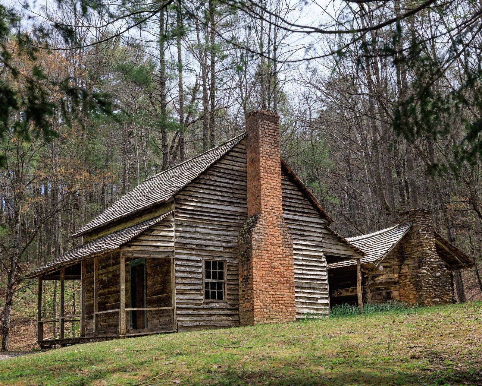
More than 90 historic structures survive inside the park — cabins, barns, three churches, a working gristmill, several schools — concentrated in four clusters: Cades Cove, Cataloochee Valley, Roaring Fork, and the Oconaluftee Mountain Farm Museum near Cherokee. The Mountain Farm Museum groups relocated log buildings into one walkable site, flat enough for strollers and an easy stop next to the Oconaluftee Visitor Center.
More than 150 cemeteries sit scattered among them, many reachable by a short walk off the main loops — small family plots with hand-carved headstones predating the park by a century. This land was farmed and logged long before 1934, and Appalachian settlers distilled their own whiskey the way anyone did without easy access to town; moonshine tours based in Gatlinburg dig into that history further than any trailside sign will.
Sugarlands, Oconaluftee, and the Cades Cove Visitor Center each run exhibits on the settlers, the Cherokee who lived here first, and the logging era that nearly leveled the forest before the park saved it — worth twenty minutes if you're passing by anyway.
More Ways to Experience the Park: Biking, Horseback Riding, Camping & Picnics
Not every good day in the Smokies involves a trailhead or a windshield. These four options fill in the slower-paced gaps between drives and hikes.
Biking
Cades Cove Loop Road is the park's best biking route, especially on summer Wednesday mornings when cars are barred entirely. Rentals are available at the Cades Cove Campground store in season.
Horseback Riding
Guided rides run from stables at Cades Cove, Smokemont, and Sugarlands between mid-March and late November, no experience required. It's a slower way to cover ground than driving, but it puts you closer to the wildlife than a car window does.
Camping
Ten frontcountry campgrounds — Cades Cove, Elkmont, Smokemont, and Cosby among them — take tents and RVs, all booked through recreation.gov. Backcountry camping runs $8 per person a night and needs a separate permit through the park's own system.
Picnicking
Metcalf Bottoms, Chimneys, Cades Cove, and Deep Creek all have dedicated picnic areas with tables and grills. Open fires aren't allowed in picnic areas, charcoal grills only, and reserving a pavilion costs extra if you want a guaranteed spot for a group.
When to Go and How Long to Stay
Spring and October look best. April brings the wildflower bloom the park is known for, and mid-to-late October brings the fall color that draws the year's heaviest crowds. June, July, August, and October each pull in roughly a million visitors, and traffic on Cades Cove Loop and Newfound Gap Road backs up accordingly. January is the quietest month by far, at about 0.4 times an average month's crowd, though snow and ice close Kuwohi Road and can make the Newfound Gap crossing risky.
One full day covers a single scenic drive, one or two short hikes or waterfalls, and either Cades Cove or Kuwohi — not both; the driving alone eats hours. Give it three days or more, and you can split time between the Tennessee side (Gatlinburg, Cades Cove, Roaring Fork) and the North Carolina side (Cherokee, Cataloochee, Oconaluftee), cutting down on the long back-and-forth over Newfound Gap. For a full month-by-month breakdown, see our guide to the best time to visit.
Frequently asked questions
Do I need to pay an entrance fee for Great Smoky Mountains National Park?
No, there's no entrance fee. Every vehicle parked longer than 15 minutes needs a parking tag instead: $5 for a day, $15 for a week, or $40 for the year.
What is Kuwohi and why was it called Clingmans Dome?
Kuwohi is the Cherokee name, meaning mulberry place, that the U.S. Board on Geographic Names restored to the park's highest peak in September 2024. The name it replaced had honored a Confederate general since the 1800s.
How many days do I need in the Great Smoky Mountains?
One full day covers a scenic drive plus a couple of short hikes or waterfalls. Three days or more let you split time between the Tennessee and North Carolina sides without excessive driving.
What is the best time of year to visit the Smoky Mountains?
Spring wildflowers and October foliage are the best-looking seasons. June through August and October are the busiest months, each drawing roughly a million visitors, while January is the quietest.
Can you see wildlife in Great Smoky Mountains without hiking?
Yes. Cades Cove Loop Road and Cataloochee Valley are both drivable and reliable for black bear and elk sightings — the park holds about 1,500 bears and roughly 200 elk.
What things can I do in the Smokies without hiking?
Scenic drives like Cades Cove and Roaring Fork, roadside waterfalls like The Sinks and Meigs Falls, historic buildings and cemeteries, horseback riding, picnicking, and the paved walk up to Kuwohi's observation tower.
Is Cades Cove or Kuwohi better for a first visit?
They do different jobs. Cades Cove is best for wildlife and history at low elevation; Kuwohi is the park's highest point, with views that reach 100 miles on a clear day. Many first-timers do both, on separate days.
Where can you go tubing or rafting near the Smokies?
Whitewater rafting runs on the Pigeon River near Hartford, TN. Tubing is popular on Deep Creek near Bryson City, NC, and the Little River near Townsend, TN — both just outside the park boundary.